
How Commercial Property Owners Benefit from Drone Roof Inspections
A commercial drone roof inspection gives property owners a visual record of roof conditions, thermal data on temperature patterns, and mapped outputs that support maintenance and damage decisions. General Forensic Engineers (GFE) assists residential and commercial property owners, as well as attorneys evaluating property assessments, by documenting conditions and determining the objective truth in an unbiased manner, regardless of the outcome. Operators must follow FAA rules: commercial drones must be registered with the FAA before business use, and registration costs $5, according to the Federal Aviation Administration.
Table of Contents
What Property Owners Receive From a Drone Roof Inspection
Owners benefit most when the scope and deliverables are defined before the flight. GFE can help residential and commercial property owners organize captured images, thermal data, and mapped outputs for a property assessment. GFE also assists attorneys by providing an unbiased evaluation directed at the objective truth, regardless of whether the findings support or challenge a claim. Follow these steps to turn captured images into reviewable roof information.
Define the work product before scheduling a flight. A visual survey, a thermal review, and a mapped roof model each require a different capture plan, software, and report. State whether you need labeled images, measurements, or an assessment of observed conditions.
Choose a qualified provider by reviewing commercial flight experience, equipment, and sample reports. Confirm the proposed scope covers your roof and the decisions the findings must support.
Confirm the provider follows FAA requirements. Commercial drone pilots must obtain Part 107 certification, maintain visual line of sight, avoid flying over people, and follow applicable airspace restrictions. The Federal Aviation Administration requires registration before business use, at a cost of $5.
Check the aircraft category. The Federal Aviation Administration’s formal term sUAS covers commercial drones weighing under 55 pounds. Its registration is valid for three years, according to the Federal Aviation Administration.
Ask about equipment and software. A high-resolution camera records visible conditions, infrared equipment records temperature patterns, and mapping software can combine images into an orthomosaic or 3D model.
Expect a repeatable flight sequence: define coverage, inspect equipment, assess weather and obstacles, plan the flight path, capture overlapping views, then review files for gaps. Wind, precipitation, and poor visibility can affect usable capture.
Review measurement outputs against their purpose. Drone mapping software has reported roof-measurement error margins of less than 1%, while thermal patterns indicate temperature differences, not a confirmed leak by themselves.
Request organized data. Images should be labeled by roof area, original files retained, and findings should distinguish observed damage from interpretation. Reports should be shared through controlled access and secure storage.
Thermal imaging for leaks and insulation issues
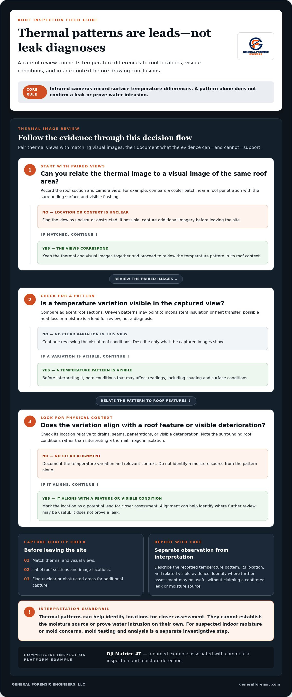
Ask for a thermal survey planned around the roof’s purpose and visible conditions. Infrared cameras record surface temperature differences that may indicate heat loss, possible moisture, or insulation irregularities. Each pattern is a lead for further analysis, not a definitive diagnosis of a leak.
Require thermal images paired with corresponding visual images. For example, a cooler patch near a roof penetration can be compared with the surrounding surface and visible flashing. The roof area and camera view should be recorded so you can relate patterns to physical features.
Have possible insulation defects assessed by comparing adjacent roof sections. Uneven patterns may point to inconsistent insulation or heat transfer, but shading and surface conditions can also affect readings. A sound report notes these factors.
Look for moisture patterns marked where thermal variation aligns with drains, seams, penetrations, or visible deterioration. Thermal images help identify locations for closer assessment, but they cannot establish the moisture source on their own.
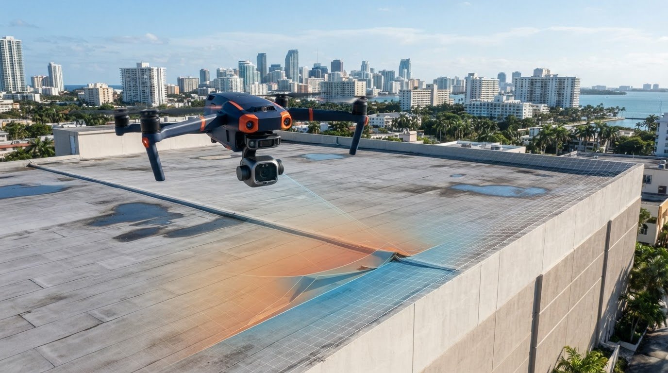
Platforms such as the DJI Matrice 4T are associated with commercial inspection and moisture detection. Pilots should select thermal equipment and capture settings suited to the roof surface and the image detail required.
Expect image sets reviewed before the crew leaves the site. Thermal and visual views are matched, roof sections labeled, and unclear areas flagged for additional capture.
Insist that the report separate observation from conclusion. It should describe the recorded temperature pattern, its location, and related visible evidence, then identify where further assessment may be useful. For suspected indoor moisture or mold concerns, mold testing and analysis can provide a separate investigative step.
For owners tracing the source of a leak, see How to Trace Water Entry Points in a Roof Leak Investigation.
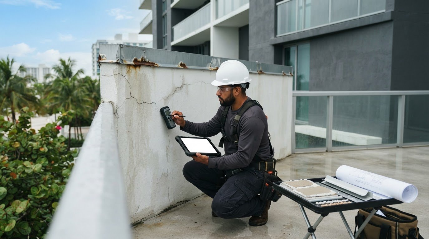
Damage documentation and insurance claims
Consistent capture and labeling make storm-related roof evidence easier to review. Images of missing shingles, cracked tiles, or debris help owners, attorneys, and insurers assess visible damage. GFE evaluates this documentation in an unbiased manner to determine the objective truth, regardless of the outcome.
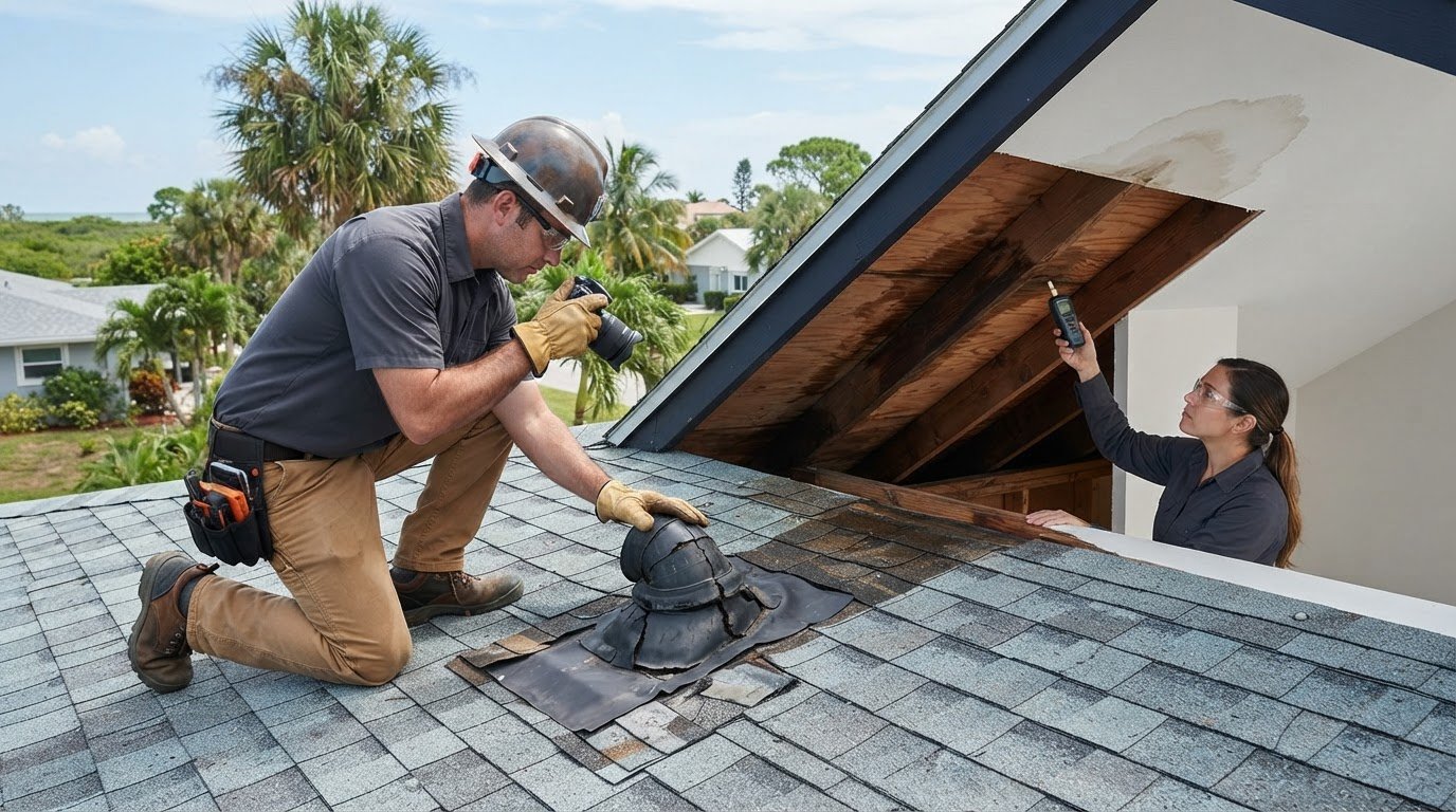
Assess storm damageRequest a planned flight that captures each roof slope, ridge, edge, and visible penetration. The record should show displaced shingles, cracked tiles, punctures, and debris without drawing conclusions about cause from one image. A residential drone inspection typically takes 20 to 45 minutes; required coverage and access conditions affect the operation.Wide views should be paired with close-ups of suspected damage, giving a roof-level overview and a clear look at individual defects.
Document roof damage for insurance claimsAsk that each image be labeled by roof area and capture direction, with the original files preserved alongside the report. An overview paired with detail images of the same feature, such as a damaged tile and its surrounding slope, makes review straightforward. Measurements should be included only when the image or mapping process supports them.A drone inspection documents visible conditions; it does not determine coverage or replace the insurer’s claim process.
Confirm the complete image set was reviewed before the crew left the site, that each roof area has usable coverage, and that filenames match the report’s location descriptions.
Obtain a concise report that separates observed damage, image references, and supported measurements. For post-storm reviews, pre- and post-commercial hurricane assessments can document building conditions at the relevant stages.
Related reading: Property Damage Assessment in Miami for Storms and Repairs.
2D roof maps and 3D building models
Choose photogrammetry when the deliverable needs more than individual photographs. The software combines images captured from different angles into a 2D map or 3D model. An orthomosaic gives a continuous visual representation of roof surfaces, while a 3D model adds visible form and spatial context.
Expect the flight path to be planned around the roof’s geometry, covering each slope, ridge, parapet, and rooftop feature. Consistent camera angles and sufficient image detail help software align features and reduce gaps.
Use a 2D roof map to locate features across the full surface. Drains, seams, penetrations, and damaged areas are marked against their roof sections, so a property manager can communicate a repair concern without relying on verbal descriptions.
Select a 3D building model when roof shape or elevation relationships matter. It shows how slopes, edges, and rooftop structures relate visually. Review the output for missing surfaces before using it for planning.
Ask for quality assurance before outputs are shared. The map should cover the intended roof areas, labels should match the correct features, and the model should represent the captured structure.
Receive the map or model with a brief explanation of its purpose and limits, and keep the source images with the finished files. For projects that require organized aerial imagery, use drone construction photos to document building conditions and support review.
General Forensic Engineers: Expert Forensic Damage Assessment
General Forensic Engineers, LLC provides Expert Forensic Damage Assessment when roof images reveal damage that calls for a broader evaluation of cause and building conditions. GFE assists both residential and commercial property owners with property assessments and assists attorneys by distinguishing documented observations from questions that need further investigation. GFE acts in an unbiased manner to determine the objective truth, regardless of the outcome, so the assessment is based on the property conditions and available evidence.
For storm-related concerns, Pre & Post-Commercial Property Hurricane Assessments examine commercial property conditions before or after a hurricane. Residential & Commercial Property Inspections and Recertification & Milestone Inspections serve other property review needs. GFE provides these assessments objectively for property owners and attorneys, without favoring either side or a predetermined result. Learn more in Forensic Engineer Property Damage Assessment in Miami.
Contact General Forensic Engineers or visit generalforensic.com to discuss your property and the findings you need evaluated. Plaintiff attorneys seeking an unbiased property assessment may contact GFE or connect with the property owner so the objective truth can be determined, regardless of the outcome.
Frequently Asked Questions
What are roofing drones?
Roofing drones are unmanned aircraft used to capture aerial views of roofs and building exteriors. Their cameras document roof edges, elevated sections, and equipment locations that are hard to see from the ground. The images show surface conditions rather than concealed layers beneath the roofing material.
What are the benefits and limitations of commercial drone roof inspections?
A commercial drone roof inspection provides overhead imagery without requiring an inspector to walk every roof surface, and it creates a visual record for later comparison. GFE can help residential and commercial property owners and attorneys assess that record objectively. Images cannot reveal concealed damage or establish its cause on their own; GFE evaluates the available evidence in an unbiased manner to determine the objective truth, regardless of the outcome. Obstructions, glare, and incomplete coverage can also limit what they show.
What roof defects can drone imagery detect reliably?
Drone imagery documents visible surface conditions when the camera has a clear view and captures sufficient detail. Reviewers can identify displaced roofing components, cracked material, surface openings, or debris and record each location for follow-up. GFE assists property owners and attorneys by assessing these observations without favoring a claimed result and determining the objective truth, regardless of the outcome. A photograph cannot independently establish depth, cause, or effect on the building.
What permits, privacy rules, and insurance are needed for drone roof inspections?
For commercial flights, pilots must obtain FAA Part 107 certification. Commercial drones must be registered with the FAA before business use, and registration costs $5, according to the Federal Aviation Administration. Keep property access permission, flight documentation, and image-handling practices organized with the inspection file.
Are there state or local rules for commercial drone roof inspections in the United States?
Local requirements may apply in addition to federal aviation rules. Before planning a roof survey in Miami, Tampa, St. Petersburg, Fort Lauderdale, Key West, Key Largo, Coral Gables, or Doral, identify relevant local flight restrictions, property-access conditions, and rules affecting image capture. Record the planned flight area and any operational limits in the inspection documentation.
Comments